
Title
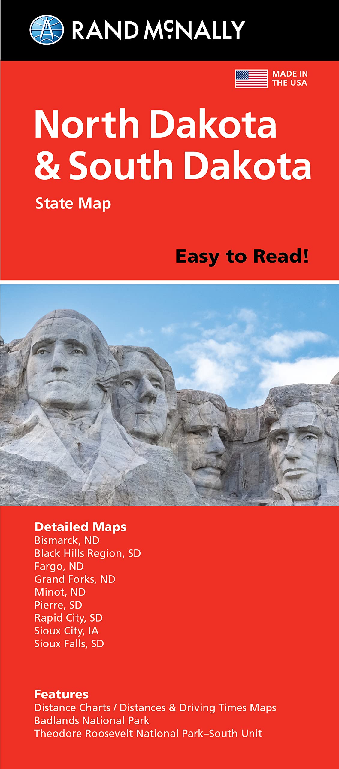
Rand Mcnally Easy To Read Folded Map: North Dakota, South Dakota State Map
Sold by Ergodebooks, an authorized reseller.
Returns accepted within 30 days | support@ergodebooks.com
Shipping Information
- Free Standard Shipping — United States only
- Processing Time: 3–5 business days
- Estimated Delivery: 6–10 business days after dispatch
- Double-boxed, fully insured & discreetly packaged
- Tracking number sent via email once dispatched
Returns & Refund
Returns accepted within 30 days of delivery.
Damaged or Defective Item
Free return shipping + replacement or full refund
Wrong Item Received
Free return shipping + replacement or full refund
Change of Mind
Return shipping at customer's expense · 25% restocking fee applies
Payment Option

State Map Of North Dakota And South Dakota. Also Includes Additional Maps Of Bismark, Black Hills Region, Fargo, Grand Forks, Minot, Pierre, Rapid City, Sioux City, Sioux Falls. Featurs Distance Charts, Distances And Driving Times Maps, Badlands National Park, Theodore Roosevelt National Parksouth Unit, North Dakota And South Dakota City And County Index.
⚠️ WARNING (California Proposition 65):
This product may contain chemicals known to the State of California to cause cancer, birth defects, or other reproductive harm.
For more information, please visit www.P65Warnings.ca.gov.
- Q: What are the dimensions of the Rand McNally map? A: The map measures four point twenty-one inches in length, one point two inches in width, and nine point forty-one inches in height.
- Q: How many pages does the Rand McNally map have? A: The Rand McNally map contains one page, providing a comprehensive overview of the area.
- Q: What type of binding does the Rand McNally map use? A: The map utilizes a folded binding style, making it easy to store and unfold.
- Q: How can I use the Rand McNally map for travel planning? A: You can use the map to identify points of interest and driving routes between cities in North Dakota and South Dakota.
- Q: Is the Rand McNally map suitable for outdoor activities? A: Yes, the map includes details on state parks and driving times, making it ideal for outdoor exploration.
- Q: Can I use the Rand McNally map for road trips? A: Absolutely! It features driving times and distance charts that are perfect for planning road trips.
- Q: How do I care for my Rand McNally map? A: To keep your map in good condition, store it flat or folded in a dry place and avoid exposing it to moisture.
- Q: Is the Rand McNally map safe for kids? A: While the map itself is not a toy, it is suitable for educational purposes and learning about geography.
- Q: Can I return the Rand McNally map if I'm not satisfied? A: Yes, check the return policy of the retailer for specific details on returns and exchanges.
- Q: What if my Rand McNally map arrives damaged? A: If your map arrives damaged, contact the retailer's customer service for assistance with a replacement or refund.
- Q: How does the Rand McNally map compare to other state maps? A: The Rand McNally map offers detailed coverage of North Dakota and South Dakota with features like climate data and visitor information.
- Q: Is the Rand McNally map suitable for beginners? A: Yes, the easy-to-use legend and detailed index make it ideal for beginners in navigation.
- Q: Does the Rand McNally map include visitor center information? A: Yes, the map provides visitor center information, enhancing your travel experience.
- Q: What types of charts are included in the Rand McNally map? A: It includes state mileage charts, driving times maps, and a state park chart for comprehensive travel planning.
- Q: Is the Rand McNally map updated regularly? A: Yes, the map was copyrighted in the year 2021, reflecting updated information for that time.