
Title
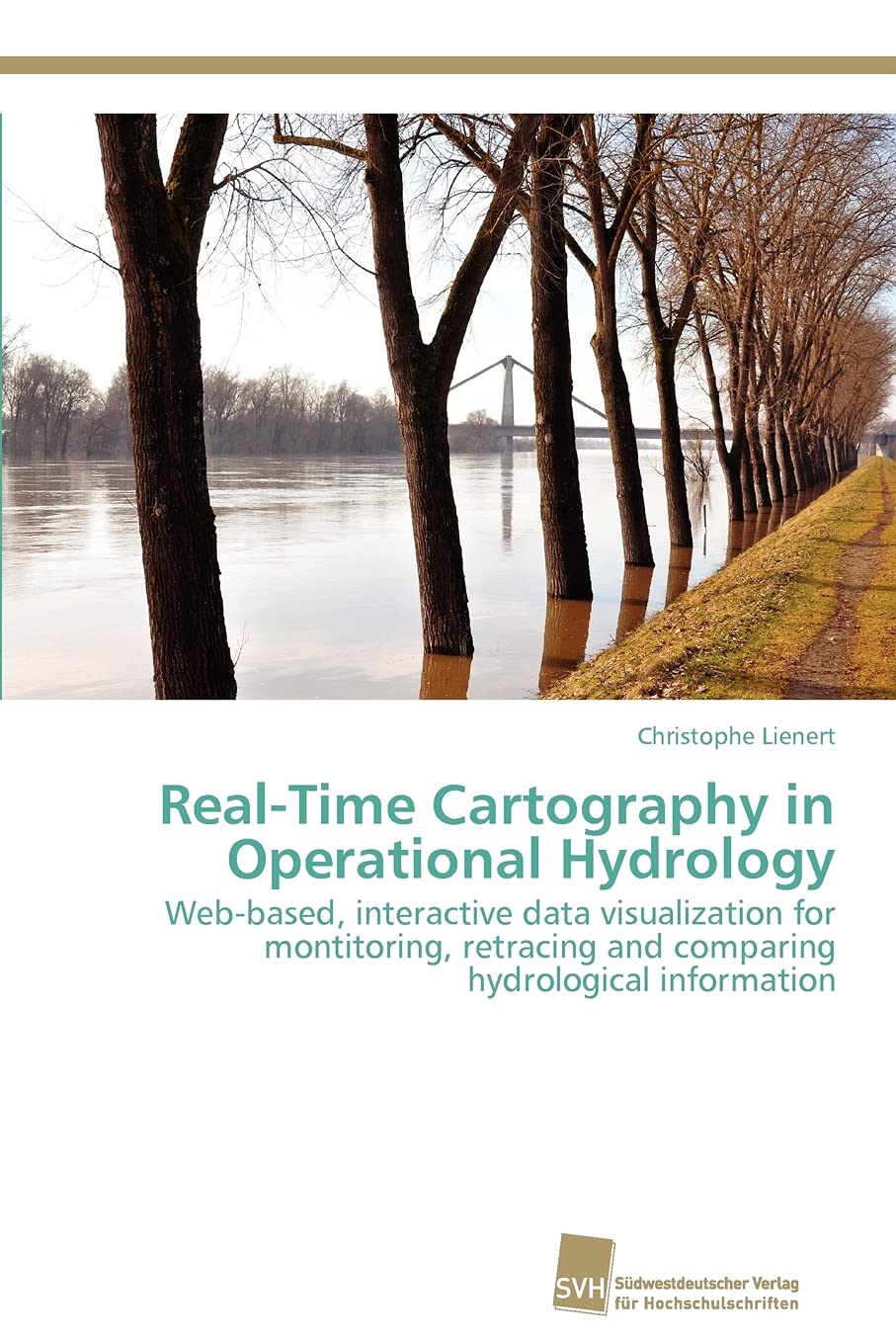
RealTime Cartography in Operational Hydrology: Webbased, interactive data visualization for monitoring, retracing and comparin,Used
Sold by Ergodebooks, an authorized reseller.
Returns accepted within 30 days | support@ergodebooks.com
Shipping Information
- Free Standard Shipping — United States only
- Processing Time: 3–5 business days
- Estimated Delivery: 6–10 business days after dispatch
- Double-boxed, fully insured & discreetly packaged
- Tracking number sent via email once dispatched
Returns & Refund
Returns accepted within 30 days of delivery.
Damaged or Defective Item
Free return shipping + replacement or full refund
Wrong Item Received
Free return shipping + replacement or full refund
Change of Mind
Return shipping at customer's expense · 25% restocking fee applies
Payment Option

For improved flood management, hydrologists in crisis committees need the most current information in a customizable, dynamic and georeferenced form to better advise their peers or the public. Increase of lead time is achieved by providing interactive, visual methods in a cartographic monitoring infrastructure, allowing hydrologists to retrieve and bundle their desired flood information in a timesaving way. Vast amounts of realtime data are valorized by novel methods which facilitate their integrated, interactive and individual use in timecritical hydrological situations. Novel data modeling and data access methods are introduced for realtime and large time series data. The involved problems are tackled by (1) a central spatiotemporal database which handles historical, realtime and forecast data, by (2) a decentralized Webbased cartographic user interface, i.e., by providing maps to access data, and by (3) various interactive tools on this interface for map manipulation and data exploration.
⚠️ WARNING (California Proposition 65):
This product may contain chemicals known to the State of California to cause cancer, birth defects, or other reproductive harm.
For more information, please visit www.P65Warnings.ca.gov.