If you have any questions, you are always welcome to contact us. We'll get back to you as soon as possible, withing 24 hours on weekdays.
Customer service
All questions about your order, return and delivery must be sent to our customer service team by e-mail at yourstore@yourdomain.com
Sale & Press
If you are interested in selling our products, need more information about our brand or wish to make a collaboration, please contact us at press@yourdomain.com
Help
If you have any questions, you are always welcome to contact us. We'll get back to you as soon as possible, withing 24 hours on weekdays.
Customer service
All questions about your order, return and delivery must be sent to our customer service team by e-mail at yourstore@yourdomain.com
Sale & Press
If you are interested in selling our products, need more information about our brand or wish to make a collaboration, please contact us at press@yourdomain.com
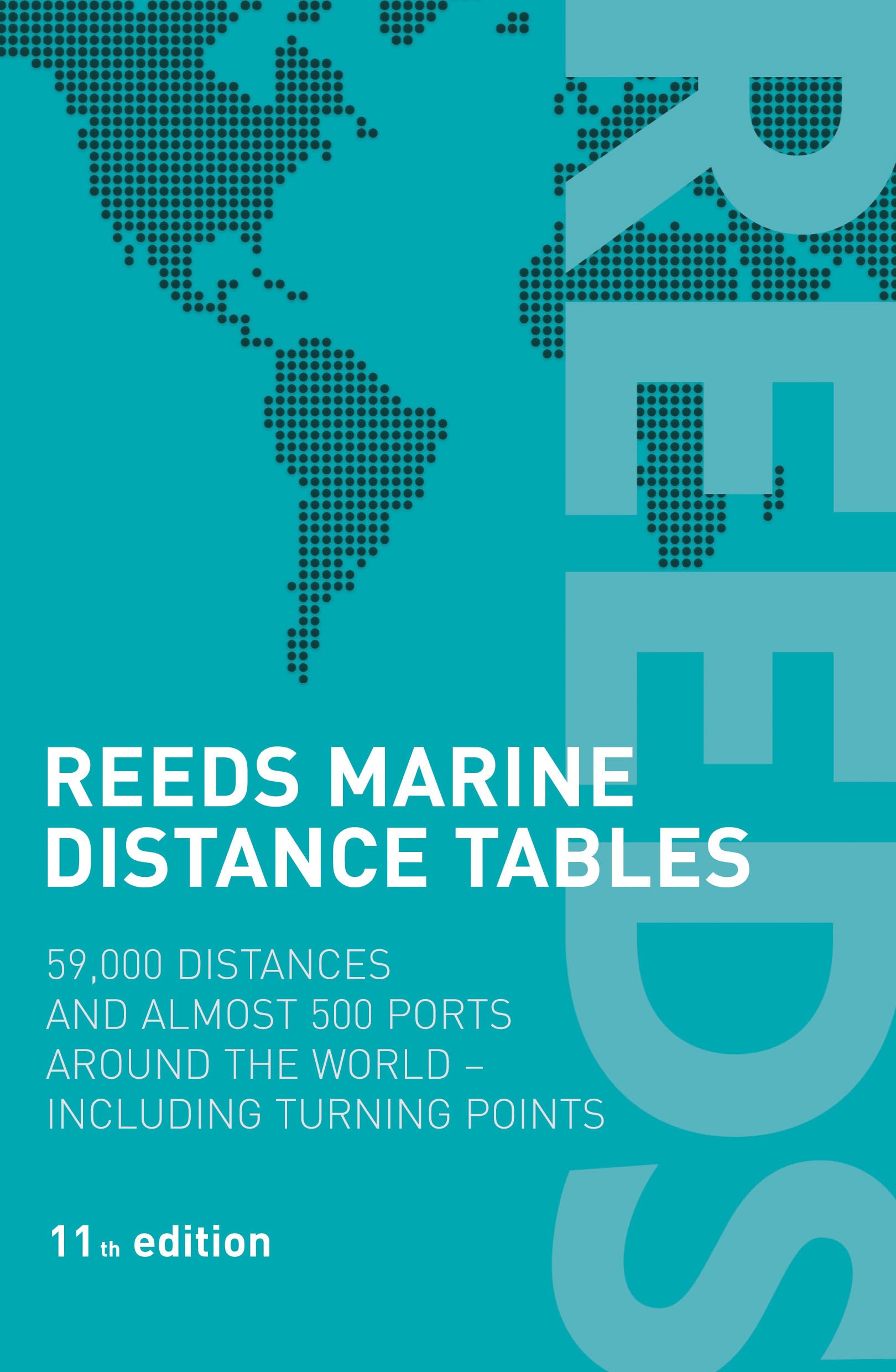
Reeds Marine Distance Tables are the perfect readyreckoner for any navigator wanting a quick and accurate distance reference between all the regularly used ports around the world. The book is divided into key market areas, and includes a pullout map for area indentification and chartlets for easy seeataglance port reference. Traffic Separation Schemes are calculated into the tables and the distance to any port not included can easily be determined by making an approximation from the next closest port. Useful tables of major 'turning points' around the world (such as Cape Finisterre, Cape Horn and the Dover Straits), time zones and time and speed conversion tables are also included. Reeds Marine Distance Tables are an invaluable reference for ship owners, operators, brokers and navigators. Using this one reference, anyone can calculate the shortest or most economical distances between all the major ports in the world. This edition has a newly improved layout for ease of use, and additional morefrequented ports added.
⚠️ WARNING (California Proposition 65):
This product may contain chemicals known to the State of California to cause cancer,
birth defects, or other reproductive harm.
For MAP (Minimum Advertised Price) violations and Intellectual Property (IP) or Trademark concerns, please contact:
support@ergodebooks.com
⚠️ California Proposition 65 Warning: Some products sold on this website may expose you to chemicals known to the State of California to cause cancer, birth defects, or other reproductive harm. For more information, visit www.P65Warnings.ca.gov.