If you have any questions, you are always welcome to contact us. We'll get back to you as soon as possible, withing 24 hours on weekdays.
Customer service
All questions about your order, return and delivery must be sent to our customer service team by e-mail at yourstore@yourdomain.com
Sale & Press
If you are interested in selling our products, need more information about our brand or wish to make a collaboration, please contact us at press@yourdomain.com
Help
If you have any questions, you are always welcome to contact us. We'll get back to you as soon as possible, withing 24 hours on weekdays.
Customer service
All questions about your order, return and delivery must be sent to our customer service team by e-mail at yourstore@yourdomain.com
Sale & Press
If you are interested in selling our products, need more information about our brand or wish to make a collaboration, please contact us at press@yourdomain.com
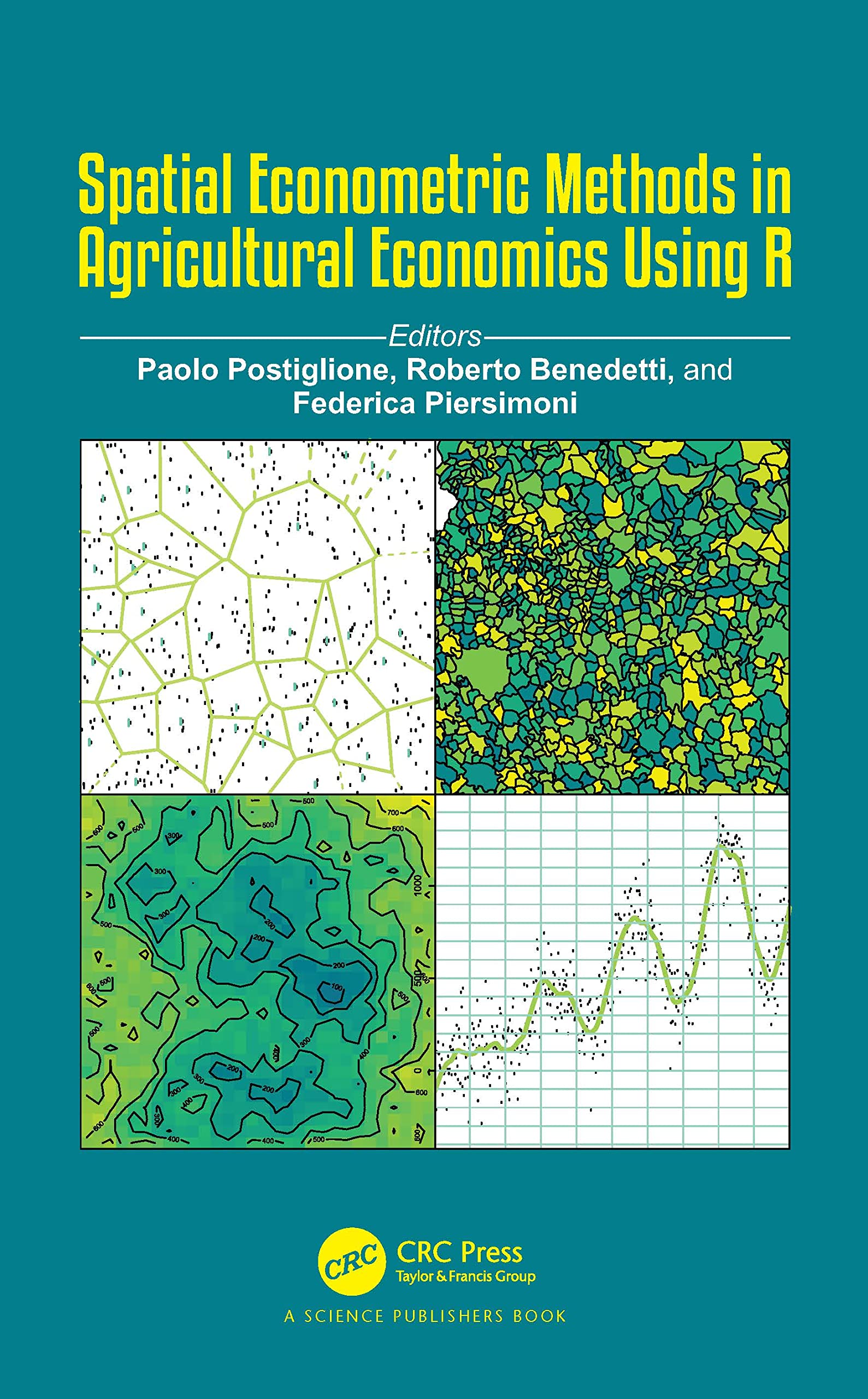
Modern tools, such as GIS and remote sensing, are increasingly used in the monitoring of agricultural resources. The developments in GIS technology offer growing opportunities to agricultural economics analysts dealing with large and detailed spatial databases, allowing them to combine spatial information from different sources and to produce different models. The availability of these valuable sources of information makes the advanced models suggested in the spatial statistic and econometric literature applicable to agricultural economics.This book aims at supporting stakeholders to design spatial surveys for agricultural data and/or to analyse the geographically collected data.This book attempts to describe the main typology of agricultural data and the most appropriate methods for the analysis, together with a detailed description of the available data sources and their collection methods. Topics such as spatial interpolation, point patterns, spatial autocorrelation, survey data analysis, small area estimation, regional data modelling, and spatial econometrics techniques are covered jointly with issues arising from the integration of several data types.The theory of spatial methods is complemented by real and/or simulated examples implemented through the opensource software R.
⚠️ WARNING (California Proposition 65):
This product may contain chemicals known to the State of California to cause cancer,
birth defects, or other reproductive harm.
For MAP (Minimum Advertised Price) violations and Intellectual Property (IP) or Trademark concerns, please contact:
support@ergodebooks.com
⚠️ California Proposition 65 Warning: Some products sold on this website may expose you to chemicals known to the State of California to cause cancer, birth defects, or other reproductive harm. For more information, visit www.P65Warnings.ca.gov.