
Title
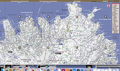
StreetSmart Iceland Map by VanDam laminated pocketsize, country planning and driving map with all attractions, sights, hotels, ,New
Sold by Ergodebooks, an authorized reseller.
Returns accepted within 30 days | support@ergodebooks.com
Shipping Information
- Free Standard Shipping — United States only
- Processing Time: 3–5 business days
- Estimated Delivery: 6–10 business days after dispatch
- Double-boxed, fully insured & discreetly packaged
- Tracking number sent via email once dispatched
Returns & Refund
Returns accepted within 30 days of delivery.
Damaged or Defective Item
Free return shipping + replacement or full refund
Wrong Item Received
Free return shipping + replacement or full refund
Change of Mind
Return shipping at customer's expense · 25% restocking fee applies
Payment Option

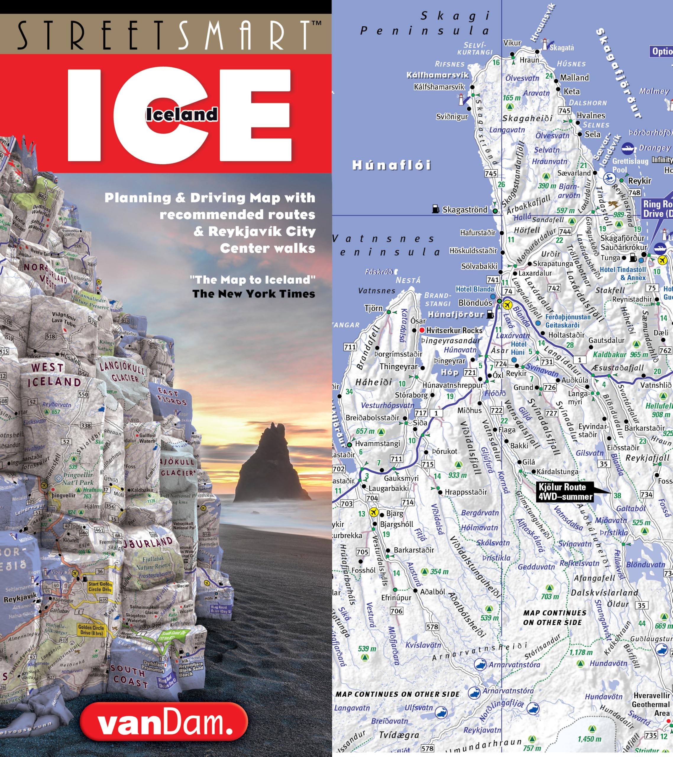
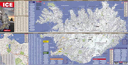
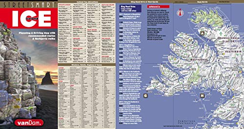
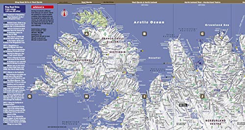
VanDam's new StreetSmart Iceland maps all of the island's cultural and natural treasures at an immensely legible scale complete with stunning 3D relief maps of the entire country. Clear information design has earned VanDam maps a place in the MoMA Collection. The map is laminated, pocketsize, durable, and easytoread and fold. Dimensions: 9 x 4 closed, 9 x 36 open.Coverage: Iceland country driving map: 1:1,900,000 Reykjavk city walking map: 1:23,000StreetSmart Iceland is so legible you can read it from three feet away and will instantly understand how the capital of Reykjavk connects with the Golden Circle, the South Coast with Vanjkull National Park, and the Westman Islands with the Goafoss waterfall. You will know where to bird on the Reykanes Peninsula, hike in rsmrk Valley, whale watch at the Arctic Circle and where to break for lunch on Ring Road Drive through the East Fjords.This map is your visual guide and essential reference to the geothermal baths, geysers, glaciers, ice caves, fissures, volcanoes and the 4WD driving routes Iceland is famous for.StreetSmart Iceland is designed to be both a planning tool and a durable road guide. The map gives you an overview to easily choose between the 6day Ring Road trip spanning 800 miles, and three 1012 hour day trips from Reykjavk to the Golden Circle, the South Coast, and West Iceland. Tested Route Guides describe highlights of each drive by day and hour and provide the necessary logistics to make sure you catch the 20:45 ferry into the sunset for an overnight stay on the Westman Islands.StreetSmart Iceland map is waterproof, pocketsize and folds easily so you do not run the risk of covering the driver's sight lines when turning it over plus you avoid searching in vain for your missing wifi and roaming signals.So whether you want to cave dive at ingvellir National Park or simply marvel at the MidOcean Ridge breaking the earth's surface to reveal how the Eurasian and North American plates push apart at Almannagja fissure, the geologic wonder that is Iceland volcanoes covered by glaciers spilling into lagoons surrounded by black sand beaches lining the Arctic Ocean guarded by thousands of puffins Iceland comes alive on this map.For a simple cultural overnight visit the map shows recommended walks, restaurants and shops in Downtown Reykjavk. If you are looking for The Phallus Museum, a dance performance at In Cultural House or you just want to find the restaurant serving the best local lamb we will get you there with confidence and ease. Hint: Apotk.Naming names: The map names all features in English so you can instantly tell that Slheimajkull is a glacier, Gullfoss a waterfall and Hella a volcano. Clearly legible icons show where to bird, cave dive, swim, hike, sauna and whale watch around Iceland.StreetSmart Iceland makes it all clear and understandable. For instance, you are on the scenic route 435 to ingvellir National Park via the Mosfellsheii Valley when suddenly white steam rises from geothermal pipes embedded in black volcanic rocks covered with thick emerald moss carpets: An otherworldly sight. This map will give you the shortest and most scenic route to get there and back with confidence. Even though you may have a tour lined up and only need to follow the person in front of you this map will give you an insight into the unparalleled geologic, tectonic and volcanic riches that are Iceland.StreetSmart Iceland makes it easy and you an instant Icelander.
⚠️ WARNING (California Proposition 65):
This product may contain chemicals known to the State of California to cause cancer, birth defects, or other reproductive harm.
For more information, please visit www.P65Warnings.ca.gov.
- Q: What are the dimensions of the StreetSmart® Iceland Map? A: The StreetSmart® Iceland Map measures 9 x 4 inches when closed and 9 x 36 inches when opened.
- Q: Is the StreetSmart® Iceland Map waterproof? A: Yes, the StreetSmart® Iceland Map is waterproof, making it durable for outdoor use.
- Q: What scale is the Reykjavík city walking map? A: The Reykjavík city walking map is at a scale of 1:23,000.
- Q: Can I use this map for planning road trips in Iceland? A: Yes, the map is designed as a planning tool and provides details for a 6-day Ring Road trip and various day trips from Reykjavík.
- Q: Does the map include major attractions in Iceland? A: Yes, the map highlights major attractions, sights, hotels, restaurants, and natural features such as volcanoes and waterfalls.
- Q: Is the map easy to read from a distance? A: Yes, the StreetSmart® Iceland Map is designed to be legible from three feet away.
- Q: What features does the map include for outdoor activities? A: The map includes icons for activities such as bird watching, hiking, cave diving, swimming, and whale watching.
- Q: What is the release date of the 2026 edition? A: The 2026 edition of the StreetSmart® Iceland Map is set to be released on July 24, 2025.
- Q: Who is the author of the StreetSmart® Iceland Map? A: The author of the StreetSmart® Iceland Map is Stephan Van Dam.
- Q: Is the map suitable for both planning and navigation? A: Yes, the map serves as both a planning tool and a durable road guide for navigation.