If you have any questions, you are always welcome to contact us. We'll get back to you as soon as possible, withing 24 hours on weekdays.
Customer service
All questions about your order, return and delivery must be sent to our customer service team by e-mail at yourstore@yourdomain.com
Sale & Press
If you are interested in selling our products, need more information about our brand or wish to make a collaboration, please contact us at press@yourdomain.com
Help
If you have any questions, you are always welcome to contact us. We'll get back to you as soon as possible, withing 24 hours on weekdays.
Customer service
All questions about your order, return and delivery must be sent to our customer service team by e-mail at yourstore@yourdomain.com
Sale & Press
If you are interested in selling our products, need more information about our brand or wish to make a collaboration, please contact us at press@yourdomain.com
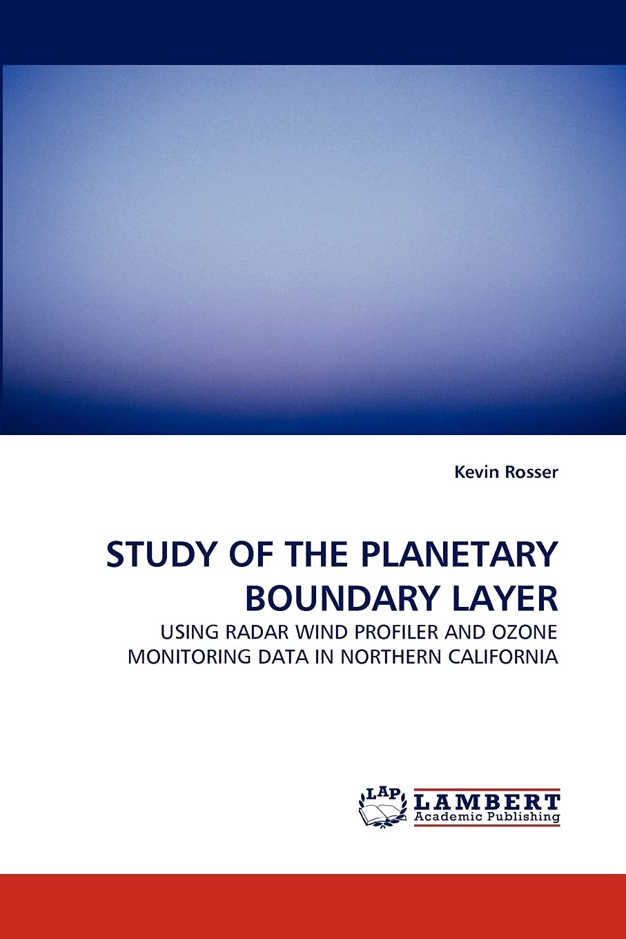
National Oceanic and Atmospheric Administration (NOAA) wind profilers maintained in the Sacramento Valley Air Basin are compared to the California Air Resources Board (CARB) ozone monitoring stations. Four study periods in the summer of 2000 were chosen using emission estimates provided by CARB and vehicle counts on Interstate 5 provided by the California Department of Transportation (CALTRANS) to compare to ozone monitoring data. This is a study of the Sacramento Regional Areas ozone pollution impact to Tehama and Shasta Counties 185 and 230 km north. Computing the meridional component of valley wind within the SVAB illustrated a sinusoidal asymmetrical pattern that effectively recycles air within the basin. This study found that emission estimates and transportation demand do not agree with recorded ozone values in the SVAB. Also, the northern progression of valley wind within the SVAB is capable of moving 200 + kilometers per day which would transfer an air parcel from Sacramento to Tehama and Shasta Counties.
⚠️ WARNING (California Proposition 65):
This product may contain chemicals known to the State of California to cause cancer,
birth defects, or other reproductive harm.
For MAP (Minimum Advertised Price) violations and Intellectual Property (IP) or Trademark concerns, please contact:
support@ergodebooks.com
⚠️ California Proposition 65 Warning: Some products sold on this website may expose you to chemicals known to the State of California to cause cancer, birth defects, or other reproductive harm. For more information, visit www.P65Warnings.ca.gov.