
Title
The 2013 Road Atlas,Used
Sold by Ergodebooks, an authorized reseller.
Returns accepted within 30 days | support@ergodebooks.com
Shipping Information
- Free Standard Shipping — United States only
- Processing Time: 3–5 business days
- Estimated Delivery: 6–10 business days after dispatch
- Double-boxed, fully insured & discreetly packaged
- Tracking number sent via email once dispatched
Returns & Refund
Returns accepted within 30 days of delivery.
Damaged or Defective Item
Free return shipping + replacement or full refund
Wrong Item Received
Free return shipping + replacement or full refund
Change of Mind
Return shipping at customer's expense · 25% restocking fee applies
Payment Option

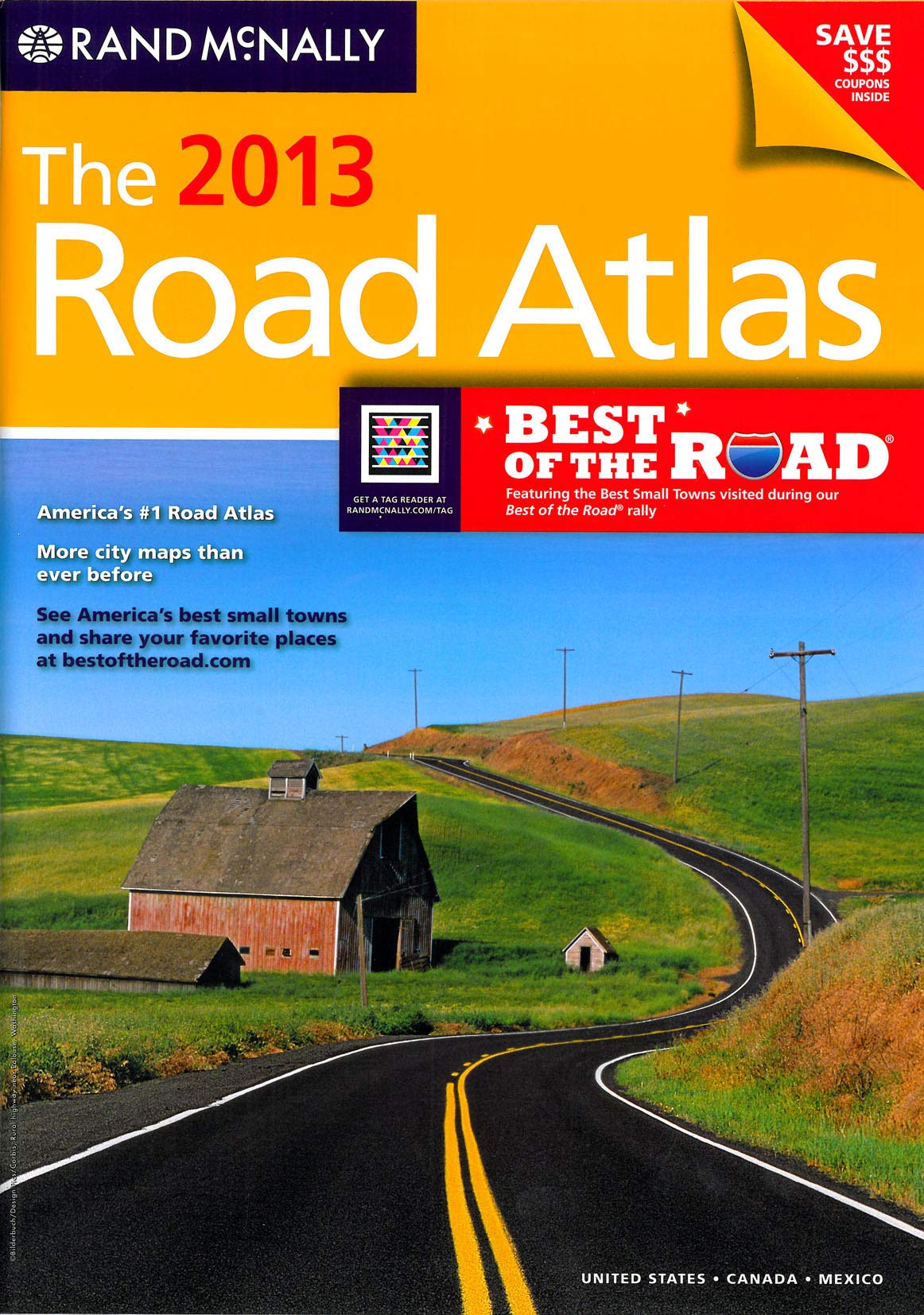
Find your next route with a modern road map The 89th edition of the most trusted and bestselling US atlas on the market features the winners from the first Best of the Road search for America s best small towns.Use the book's scannable tags to point your smartphone to updated road trip content and tools that enhance your travel planning. To download the Microsoft Tag reader, use the web browser on your phone to navigate to randmcnally.com/TAG and click the link provided.The 2013 Road Atlas includes coupons for discounts at hotels, restaurants and family attractions so you can save money on your next road trip. Tags keep the offers fresh scan them with your smartphone to check back for additional deals.Product DescriptionUpdated U.S. atlas contains maps of every U.S. state and Canadian province, an overview of Mexico, and detailed inset maps of over 350 cities and 20 U.S. national parks. City inset maps were added or expanded in the following state sections: MD, NC, ND, SC and VA.Road construction projects and updates highlighted for every state, conveniently located above maps and updated at maps.randmcnally.com.Tags take your smartphone to even more travel info including a mobile mileage calculator, updated offers from our partners, and the Best of the Road app, where you can review your favorite destinations and points of interestRead about the winning teams and small towns from the first Best of the Road contest and rally. Visit bestoftheroad.com to vote for your favorites.Includes a handy list of hotel chain tollfree numbers for easy access from the road or at homeTourism websites and phone numbers for every U.S. state and Canadian province on map pagesContains mileage chart showing distances between 90 North American cities and national parks with driving times mapsCoverage: United States, Canada, and Mexico
⚠️ WARNING (California Proposition 65):
This product may contain chemicals known to the State of California to cause cancer, birth defects, or other reproductive harm.
For more information, please visit www.P65Warnings.ca.gov.