If you have any questions, you are always welcome to contact us. We'll get back to you as soon as possible, withing 24 hours on weekdays.
Customer service
All questions about your order, return and delivery must be sent to our customer service team by e-mail at yourstore@yourdomain.com
Sale & Press
If you are interested in selling our products, need more information about our brand or wish to make a collaboration, please contact us at press@yourdomain.com
Help
If you have any questions, you are always welcome to contact us. We'll get back to you as soon as possible, withing 24 hours on weekdays.
Customer service
All questions about your order, return and delivery must be sent to our customer service team by e-mail at yourstore@yourdomain.com
Sale & Press
If you are interested in selling our products, need more information about our brand or wish to make a collaboration, please contact us at press@yourdomain.com
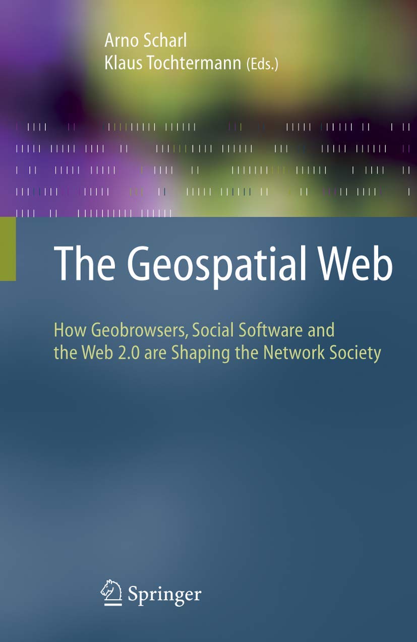
The most important attribute of geospatial platforms is their unique potential to aggregate a multitude of public and private geographic data sets, providing access to data from government agencies, industry and the general public. NASA and other organizations have a wealth of planetary science data representing the output from thousands of satellites in earthorbit, and from dozens of costly missions to other planets. Benefits derived from both the data and visual interfaces to access the data represent a significant return on investment for the public. Integrating geospatial data with semantic and collaborative Web technology multiplies the public benefits and represents the main focus of this book. The user interfaces of geobrowsers are designed for the layperson, giving conv ient access to all kinds of geographically referenced information. Geobrowsers hide the technical details related to finding, accessing and retrieving such information. The daunting challenge of the Geospatial Web is to seamlessly integrate and display vastly different information modes. Nowadays, it is not enough to simply display a map of some region; additional dynamic information modes need to be displayed and put into context from weather sensor readings and live aerial video feeds to daily news updates, photo collections and video archives.
⚠️ WARNING (California Proposition 65):
This product may contain chemicals known to the State of California to cause cancer,
birth defects, or other reproductive harm.
For MAP (Minimum Advertised Price) violations and Intellectual Property (IP) or Trademark concerns, please contact:
support@ergodebooks.com
⚠️ California Proposition 65 Warning: Some products sold on this website may expose you to chemicals known to the State of California to cause cancer, birth defects, or other reproductive harm. For more information, visit www.P65Warnings.ca.gov.