
Title
The Mapmaker's Eye: David Thompson on the Columbia Plateau,Used
Sold by Ergodebooks, an authorized reseller.
Returns accepted within 30 days | support@ergodebooks.com
Shipping Information
- Free Standard Shipping — United States only
- Processing Time: 3–5 business days
- Estimated Delivery: 6–10 business days after dispatch
- Double-boxed, fully insured & discreetly packaged
- Tracking number sent via email once dispatched
Returns & Refund
Returns accepted within 30 days of delivery.
Damaged or Defective Item
Free return shipping + replacement or full refund
Wrong Item Received
Free return shipping + replacement or full refund
Change of Mind
Return shipping at customer's expense · 25% restocking fee applies
Payment Option

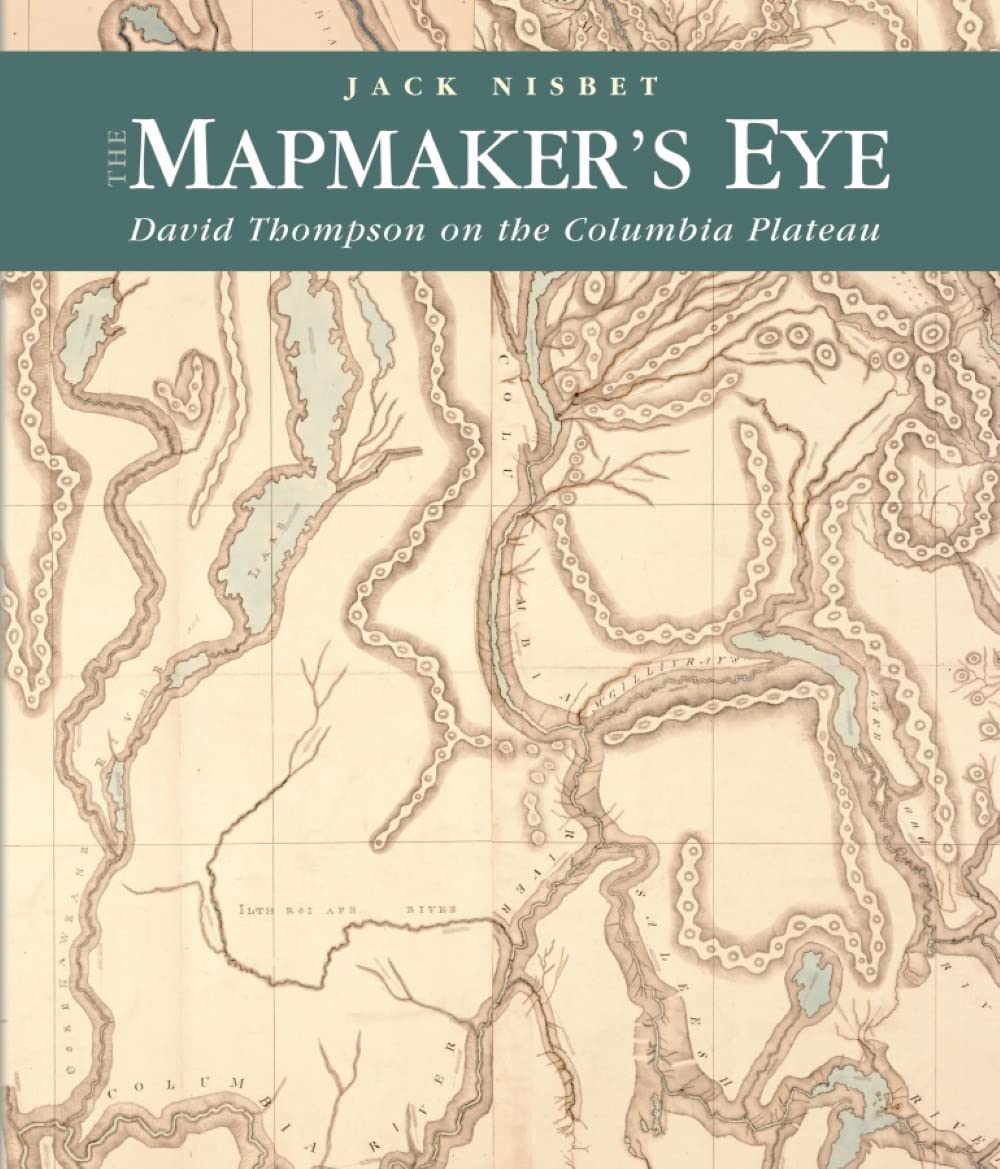
Between 1801 and 1812, North West Company fur trader, explorer, and cartographer David Thompson established two viable trade routes across the Rocky Mountains in Canada and systematically surveyed the entire 1,250mile course of the Columbia River. In succeeding years he distilled his mathematical notations from dozens of journal notebooks into the first accurate maps of a vast portion of the northwest quadrant of North America. The writings in those same journals reveal a complex man who was headstrong, curious, and resourceful in ways that reflected both his London education and his fur trade apprenticeship on the Canadian Shield.In The Mapmaker's Eye: David Thompson on the Columbia Plateau, Jack Nisbet utilizes fresh research to convey how Thompson experienced the full sweep of human and natural history etched across the Columbia drainage. He places Thompson's movements within the larger contexts of the European Enlightenment, the British fur trade economy, and American expansion as represented by the Lewis and Clark Expedition. Nisbet courses through journal notebooks to assemble and comment on the explorer's bird and mammal lists, his surprisingly detailed Salish vocabulary, the barrel organ music he and his crew listened to, and the woodworking techniques they used to keep themselves under shelter or on the move.Visual elements bring Thompson's written daybooks to life. Watercolor landscapes and tribal portraits drawn by the first artists to travel along his trade routes illuminate what the explorer actually saw. Tribal and fur trade artifacts reveal intimate details of two cultures at the moment of contact. The Mapmaker's Eye also depicts the surveying instruments that Thompson utilized, and displays the series of remarkable maps that grew out of his patient, persistent years of work. In addition, Nisbet taps into oral memories kept by the Kootenai and Salish bands who guided the agent and his party along their way.
⚠️ WARNING (California Proposition 65):
This product may contain chemicals known to the State of California to cause cancer, birth defects, or other reproductive harm.
For more information, please visit www.P65Warnings.ca.gov.
- Q: What is the page count of The Mapmaker's Eye? A: The book has one hundred ninety-two pages. This length allows for a thorough exploration of David Thompson's life and expeditions.
- Q: What type of binding does this book have? A: It is a paperback binding. This makes it lightweight and easy to handle, perfect for reading on the go.
- Q: What dimensions does The Mapmaker's Eye measure? A: The book measures eight point nine inches in length, zero point five one inches in width, and ten point five one inches in height. These dimensions make it a convenient size for any bookshelf.
- Q: Who is the author of The Mapmaker's Eye? A: The author is Jack Nisbet. He utilizes fresh research to present a complex view of David Thompson's contributions.
- Q: What is the main theme of The Mapmaker's Eye? A: The main theme revolves around exploration and mapping of the Columbia Plateau by David Thompson. It highlights human and natural history during his expeditions.
- Q: Is The Mapmaker's Eye suitable for children? A: Yes, it is suitable for older children and young adults interested in history and exploration. The content is educational and informative.
- Q: How do I benefit from reading The Mapmaker's Eye? A: Reading this book provides insight into the history of the Columbia Plateau and the significance of David Thompson's work. It enriches understanding of early American exploration.
- Q: Can I use this book for academic purposes? A: Yes, it can be used for academic research or studies related to American history and cartography. It contains valuable information and references.
- Q: How should I store The Mapmaker's Eye to keep it safe? A: Store it in a cool, dry place away from direct sunlight. This will help preserve the integrity of the paperback binding and printed pages.
- Q: What is the best way to clean The Mapmaker's Eye? A: To clean the book, gently wipe the cover with a soft, dry cloth. Avoid using water or cleaning solutions that may damage the paper.
- Q: What should I do if The Mapmaker's Eye arrives damaged? A: If the book arrives damaged, contact the seller immediately for a return or exchange. Most sellers provide a clear return policy for such situations.
- Q: How does The Mapmaker's Eye compare to other historical books? A: It stands out due to its detailed focus on David Thompson and the Columbia Plateau, offering unique insights not commonly found in other historical texts.
- Q: Is there any specific audience for The Mapmaker's Eye? A: Yes, it appeals to history enthusiasts, students, and anyone interested in cartography and exploration. Its detailed narrative captures a wide audience.
- Q: What makes The Mapmaker's Eye a unique read? A: Its blend of personal narrative, detailed research, and visual elements makes it unique. The inclusion of watercolor landscapes and tribal portraits enhances the reading experience.
- Q: Are there any illustrations in The Mapmaker's Eye? A: Yes, the book includes watercolor landscapes and tribal portraits. These illustrations help visualize the historical context of David Thompson's explorations.