
Title
The Planning of Roman Roads and Walls in Northern Britain,Used
Sold by Ergodebooks, an authorized reseller.
Returns accepted within 30 days | support@ergodebooks.com
Shipping Information
- Free Standard Shipping — United States only
- Processing Time: 3–5 business days
- Estimated Delivery: 6–10 business days after dispatch
- Double-boxed, fully insured & discreetly packaged
- Tracking number sent via email once dispatched
Returns & Refund
Returns accepted within 30 days of delivery.
Damaged or Defective Item
Free return shipping + replacement or full refund
Wrong Item Received
Free return shipping + replacement or full refund
Change of Mind
Return shipping at customer's expense · 25% restocking fee applies
Payment Option

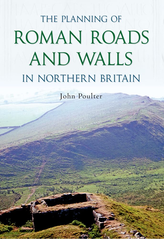
Of all the monuments from the 350 or more years of Roman rule in Britain, perhaps the most magnificent to come down to us today are their roads and the two great walls that they built across northern Britain Hadrian's Wall and the Antonine Wall in Scotland. Yet, before these vast structures were built, their courses would need to have been chosen and their lines set out across the countryside. In general, Roman literature is silent about how they did this, but recently John Poulter has devised a way of detecting the directions in which Roman surveyors may have been working when setting out their roads and walls. Applying this to Dere Street, the main Roman road from the Vale of York up into Scotland, has led to a radical reappraisal of how and when this important road was planned, and when it was built. At the suggestion of leading archaeologists, John has also applied his methodology to the planning of Hadrian's Wall and the Antonine Wall in Scotland and, again, unearthed a multitude of surprises for both of these monuments. Not only were their processes of planning found to be quite unlike what might have been expected, but the lines that their designers chose to take across the landscapes offer us new insights into the intended purposes of these structures. In addition to these individual studies, John offers comments about Roman roads in general, and compares them with General Wade's Military Roads in Scotland. He also discounts much previous writing about Roman roads as being too uncritical, and introduces an approach to the analysis of archaeological findings which seeks to deliver interpretations that are as objective and as balanced as possible.
⚠️ WARNING (California Proposition 65):
This product may contain chemicals known to the State of California to cause cancer, birth defects, or other reproductive harm.
For more information, please visit www.P65Warnings.ca.gov.