
Title
The Sea Chart: The Illustrated History of Nautical Maps and Navigational Charts,Used
Sold by Ergodebooks, an authorized reseller.
Returns accepted within 30 days | support@ergodebooks.com
Shipping Information
- Free Standard Shipping — United States only
- Processing Time: 3–5 business days
- Estimated Delivery: 6–10 business days after dispatch
- Double-boxed, fully insured & discreetly packaged
- Tracking number sent via email once dispatched
Returns & Refund
Returns accepted within 30 days of delivery.
Damaged or Defective Item
Free return shipping + replacement or full refund
Wrong Item Received
Free return shipping + replacement or full refund
Change of Mind
Return shipping at customer's expense · 25% restocking fee applies
Payment Option

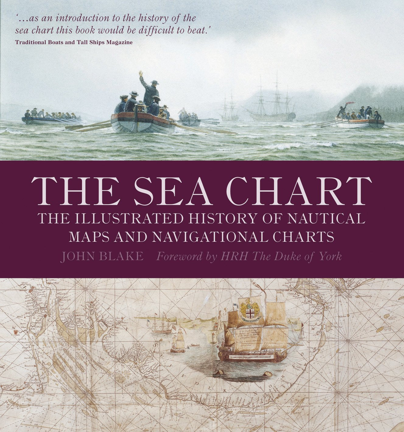
About the AuthorJohn Blake spent twelve years as an officer in the Royal Navy and is a Fellow of the Royal Institute of Navigation. He is the author of The Sea Chart and Sea Charts of the British Isles and lives in England.Product DescriptionThe sea chart was one of the key tools by which ships of trade, transport and conquest navigated their course across the oceans. John Blake looks at the history and development of the chart and the related nautical map, in both scientific and aesthetic terms, as a means of safe and accurate seaborne navigation. This handsome work contains 150 color illustrations including the earliest charts of the Mediterranean made by early thirteenthcentury Italian merchant adventurers, as well as eighteenthcentury charts that became strategic naval and commercial requirements and led to Cook's voyages in the Pacific, the search for the Northwest Passage, and races to the Arctic and Antarctic.ReviewA work of remarkable beauty and excellence The Sea Chart appeals to more than mariners, leisured or professional. It is for all whose interest is in how Earth's continents and oceans were charted and our world shaped. US Naval War College Review
⚠️ WARNING (California Proposition 65):
This product may contain chemicals known to the State of California to cause cancer, birth defects, or other reproductive harm.
For more information, please visit www.P65Warnings.ca.gov.
- Q: What is the main focus of 'The Sea Chart' by John Blake? A: 'The Sea Chart' explores the history and development of nautical maps and navigational charts, emphasizing their significance in maritime navigation.
- Q: How many illustrations are included in the book? A: The book contains 150 color illustrations, showcasing various historical nautical charts.
- Q: What is the condition of the book? A: The book is listed as 'New', ensuring it is in excellent condition for readers.
- Q: What is the binding type of the book? A: The book is available in paperback binding, making it lightweight and easy to handle.
- Q: Who is the author of 'The Sea Chart'? A: The author of 'The Sea Chart' is John Blake.
- Q: When was 'The Sea Chart' published? A: 'The Sea Chart' was published on September 1, 2009.
- Q: How many pages does the book have? A: The book consists of 160 pages, providing a comprehensive overview of nautical cartography.
- Q: Is 'The Sea Chart' suitable for someone interested in naval history? A: Yes, 'The Sea Chart' is particularly suitable for those interested in naval history and the evolution of maritime navigation.
- Q: What edition of the book is available? A: This is the 'First American Edition' of 'The Sea Chart'.
- Q: Can I find early historical charts in this book? A: Yes, the book includes early thirteenth-century Italian charts, as well as eighteenth-century navigational charts.