
Title
Time for Kids United States Atlas 2010,Used
Sold by Ergodebooks, an authorized reseller.
Returns accepted within 30 days | support@ergodebooks.com
Shipping Information
- Free Standard Shipping — United States only
- Processing Time: 3–5 business days
- Estimated Delivery: 6–10 business days after dispatch
- Double-boxed, fully insured & discreetly packaged
- Tracking number sent via email once dispatched
Returns & Refund
Returns accepted within 30 days of delivery.
Damaged or Defective Item
Free return shipping + replacement or full refund
Wrong Item Received
Free return shipping + replacement or full refund
Change of Mind
Return shipping at customer's expense · 25% restocking fee applies
Payment Option

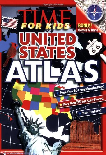
This fullcolor atlas of the United States features maps of the North American continent, regions, and individual states.Introductory maps at the front of the book include interstate maps, product maps, and topographical maps of the entire U.S. or regions. Individual state spreads feature a Data Bank of facts and statistics including state superlatives: the longest, highest, lowest, etc., photos of major natural and humanmade state attractions, and statespecific interesting information. State maps are more detailed than the maps in the World Atlas to include more cities and towns.A back section features a gazetteer to define map and geographyrelated terms, an explanation of longitudes and latitudes, a section of graphs and charts showing how the U.S. compares with other nations in terms of population breakdowns, GDP, hours of school per year, incomes, etc. Also includes a 'Where in the U.S.' scavenger hunt game for kids to complete, using compass directions, landmarks, scale of miles, and so on.
⚠️ WARNING (California Proposition 65):
This product may contain chemicals known to the State of California to cause cancer, birth defects, or other reproductive harm.
For more information, please visit www.P65Warnings.ca.gov.