
Title
To The Ends Of The Earth: How The Greatest Maps Were Made,New
Sold by Ergodebooks, an authorized reseller.
Returns accepted within 30 days | support@ergodebooks.com
Shipping Information
- Free Standard Shipping — United States only
- Processing Time: 3–5 business days
- Estimated Delivery: 6–10 business days after dispatch
- Double-boxed, fully insured & discreetly packaged
- Tracking number sent via email once dispatched
Returns & Refund
Returns accepted within 30 days of delivery.
Damaged or Defective Item
Free return shipping + replacement or full refund
Wrong Item Received
Free return shipping + replacement or full refund
Change of Mind
Return shipping at customer's expense · 25% restocking fee applies
Payment Option

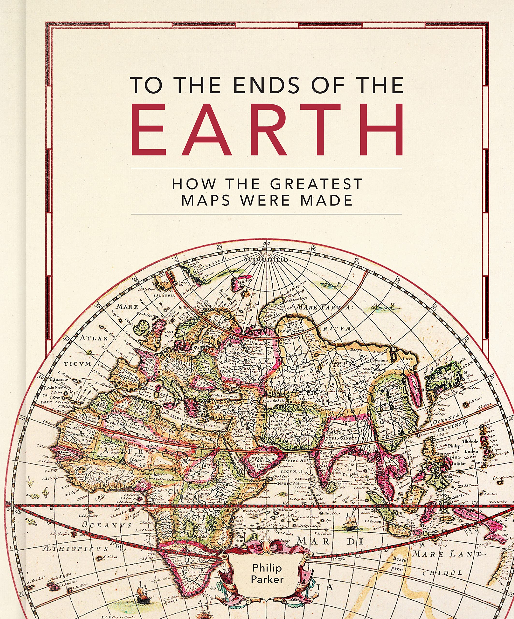
This lavishly illustrated book provides a unique insight into the evolution of mapmaking and the science behind it, from the stone age to the digital age.Britains leading cartographic author takes us on a historical journey through how the greatest maps were created. Exploring key cartographers and mapmaking methods, as well as fascinating interludes on subjects such as the very first maps, deliberate mistakes, and superlative maps, this comprehensive guide explores how the techniques and technology have developed throughout human history: Evolving methods of surveying: from the Roman groma, through the naval instruments of the magnetic compass, astrolabes and sextants, to the 20th century revolution of aerial photography Drawing tools and materials: from Babylonian maps carved in clay, to digital maps created via touchscreen The introduction of various mapping conventions and key components of a map: from Ptolemy's introduction of longitude and latitude, through the 13th century origins of having north at the top, to the various projections used to represent the Earth.With visually stunning historic maps and antique instruments, this book will engross readers with its fascinating stories of how we came to chart our world.
⚠️ WARNING (California Proposition 65):
This product may contain chemicals known to the State of California to cause cancer, birth defects, or other reproductive harm.
For more information, please visit www.P65Warnings.ca.gov.