
Title
Transit Maps Of The World: Expanded And Updated Edition Of The World'S First Collection Of Every Urban Train Map On Earth,New
Sold by Ergodebooks, an authorized reseller.
Returns accepted within 30 days | support@ergodebooks.com
Shipping Information
- Free Standard Shipping — United States only
- Processing Time: 3–5 business days
- Estimated Delivery: 6–10 business days after dispatch
- Double-boxed, fully insured & discreetly packaged
- Tracking number sent via email once dispatched
Returns & Refund
Returns accepted within 30 days of delivery.
Damaged or Defective Item
Free return shipping + replacement or full refund
Wrong Item Received
Free return shipping + replacement or full refund
Change of Mind
Return shipping at customer's expense · 25% restocking fee applies
Payment Option

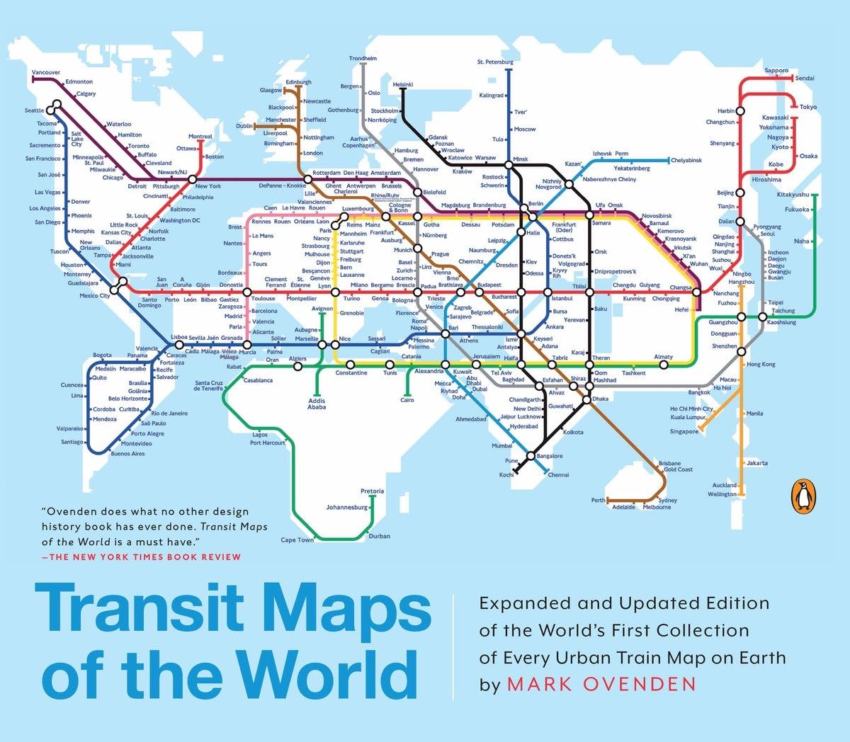
A completely updated and expanded edition of the cult bestseller, featuring subway, light rail, and streetcar maps from New York to Nizhny Novgorod.Transit Maps of the World is the first and only comprehensive collection of historical and current maps of every rapidtransit system on earth. In glorious, colorful graphics, Mark Ovenden traces the cartographic history of mass transitincluding rare and historic maps, diagrams, and photographs, some available for the first time since their original publication.Now expanded with thirtysix more pages, 250 city maps revised from previous editions, and listings given from almost a thousand systems in total, this is the graphic designers new bible, the transport enthusiasts dream collection, and a coffeetable essential for everyone whos ever traveled in a city.
⚠️ WARNING (California Proposition 65):
This product may contain chemicals known to the State of California to cause cancer, birth defects, or other reproductive harm.
For more information, please visit www.P65Warnings.ca.gov.
- Q: What are the dimensions of the book? A: The book measures ten point nine one inches in length, nine point two nine inches in height, and zero point three nine inches in thickness.
- Q: How many pages does the book have? A: This book contains one hundred seventy-six pages.
- Q: What is the binding type of the book? A: The book is available in a paperback binding.
- Q: Who is the author of this book? A: The author of this book is Mark Ovenden.
- Q: What is the genre of this book? A: The book falls under the Mass Transit category.
- Q: Is this book suitable for all ages? A: Yes, the book is suitable for all ages, making it great for transport enthusiasts and anyone interested in urban transit.
- Q: How can I use this book? A: You can use this book as a reference for various urban train maps or as a visual guide for transportation systems worldwide.
- Q: Is this book a good gift for a traveler? A: Yes, this book is an excellent gift for travelers, especially those interested in exploring different cities and their transit systems.
- Q: Can I read this book without prior knowledge of transit systems? A: Yes, the book is designed for both enthusiasts and casual readers, making it accessible regardless of prior knowledge.
- Q: How should I store this book? A: Store this book in a cool, dry place, preferably upright on a shelf to maintain its condition.
- Q: How do I care for this book? A: To care for this book, avoid exposure to direct sunlight and handle it gently to prevent wear and tear.
- Q: Is there a warranty for this book? A: Books typically do not come with a warranty; however, check the retailer's return policy for any issues.
- Q: What if the book arrives damaged? A: If the book arrives damaged, contact the retailer immediately to inquire about a return or replacement.
- Q: Can this book be used for educational purposes? A: Yes, this book can be used for educational purposes, especially in geography or urban planning studies.
- Q: Are there additional editions of this book? A: Yes, this is an expanded and updated edition that includes thirty-six more pages and revised city maps.
- Q: Where can I purchase this book? A: You can purchase this book at various retailers, including online bookstores and local shops specializing in literature.