If you have any questions, you are always welcome to contact us. We'll get back to you as soon as possible, withing 24 hours on weekdays.
Customer service
All questions about your order, return and delivery must be sent to our customer service team by e-mail at yourstore@yourdomain.com
Sale & Press
If you are interested in selling our products, need more information about our brand or wish to make a collaboration, please contact us at press@yourdomain.com
Help
If you have any questions, you are always welcome to contact us. We'll get back to you as soon as possible, withing 24 hours on weekdays.
Customer service
All questions about your order, return and delivery must be sent to our customer service team by e-mail at yourstore@yourdomain.com
Sale & Press
If you are interested in selling our products, need more information about our brand or wish to make a collaboration, please contact us at press@yourdomain.com
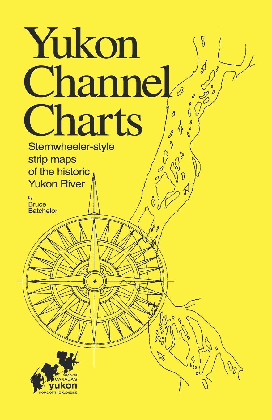
Maps of the Yukon River (Yukon Territory, Canada) drawn in historical style as used by pilots of the paddlewheelers on the famous 'Trail of '98' gold rush to the Klondike. Short stories and 42 photos in this 68 page, spiralbound book provide personal insights into contemporary river lifestyles and the rich history of the Yukon River.This is the third edition of this regional bestseller it was first published in 1975 and revised in 1980 over 4,000 copies have been sold to canoeists, rafters and other adventurers who have taken this spectacular wilderness voyage. It includes 64 'strip maps' which illustrate the route from Whitehorse to Dawson City.
⚠️ WARNING (California Proposition 65):
This product may contain chemicals known to the State of California to cause cancer,
birth defects, or other reproductive harm.
For MAP (Minimum Advertised Price) violations and Intellectual Property (IP) or Trademark concerns, please contact:
support@ergodebooks.com
⚠️ California Proposition 65 Warning: Some products sold on this website may expose you to chemicals known to the State of California to cause cancer, birth defects, or other reproductive harm. For more information, visit www.P65Warnings.ca.gov.